


Our Watershed: Community Photovoice in the Clackamas
App Motivation
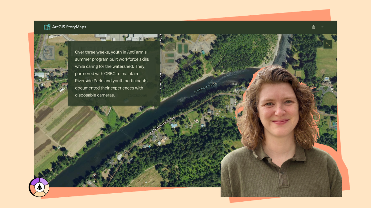
This StoryMap was created to share how community members care for and connect with Oregon’s Clackamas River watershed. The project emerged from partnerships with the Clackamas River Basin Council and AntFarm Youth & Family Services.
About the Application
The StoryMap brings together:
- Community photographs
- Narrative reflections
- Survey findings
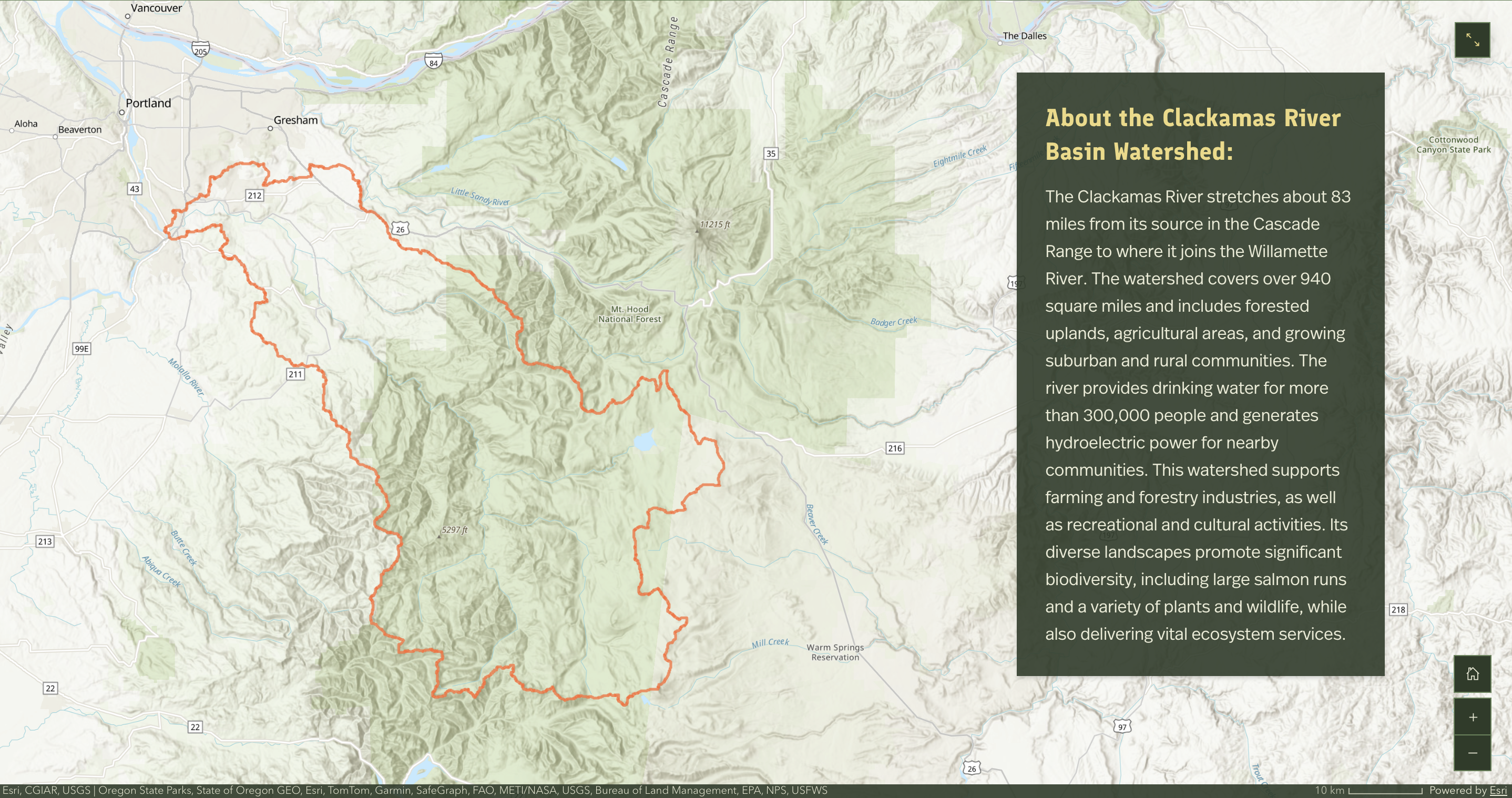
- Geographic mapping of watershed locations
The project documents everyday relationships between residents and local waterways and highlights community-driven environmental stewardship.
Target Users
This StoryMap was designed for:
- Watershed residents
- Community members
- Environmental and community development organizations
Features
Photovoice Galleries
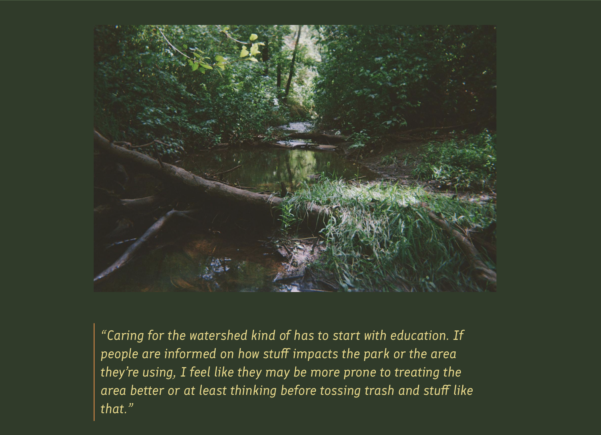
Participant images and narratives documenting watershed experiences.
Narrative Reflections
Community voices describing connections to water and place.
Geographic Context Mapping
Maps situating stories within the watershed landscape.
Web App:
storymaps.arcgis.com/stories/7cb6620b51b34760950a55800481ba42
Tech Stack:
ArcGIS StoryMaps


