


Social Infrastructure & Access in Denver: A Spatial Equity Dashboard
App Motivation
This dashboard was developed to make spatial inequities in social infrastructure access visible, interpretable, and actionable. Research consistently shows that access to everyday spaces — libraries, parks, and community centers — plays a critical role in wellbeing across the life course. However, these resources are not evenly distributed.
This project bridges the gap between academic SDOH research and the real-world needs of planners, public health professionals, and community advocates.
About the Application
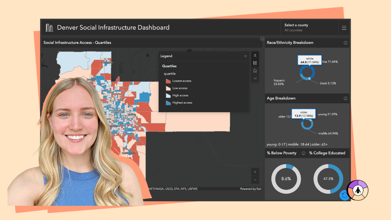
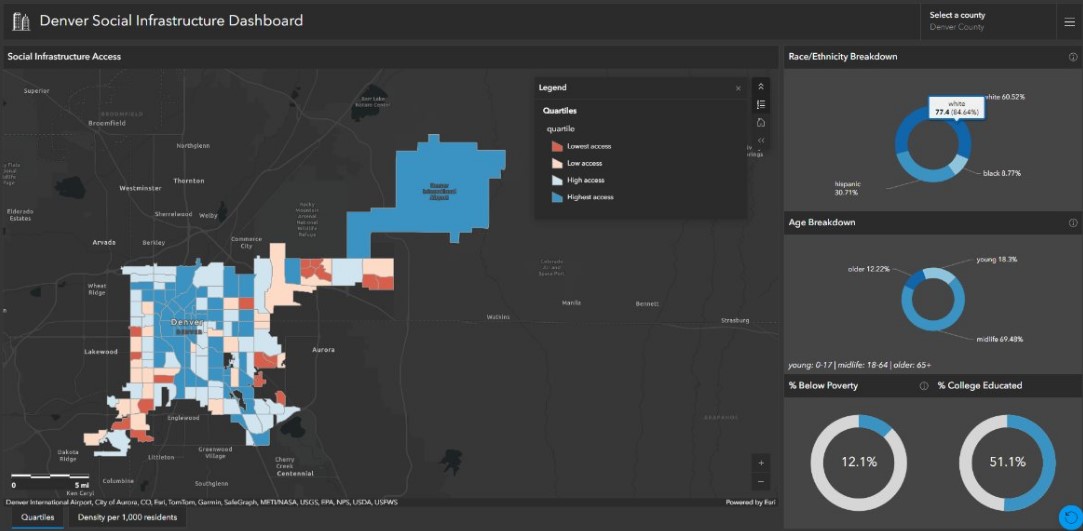
This interactive GIS dashboard maps neighborhood-level access to multiple forms of social infrastructure across the Denver Metro Area using census tract-level data.
The dashboard visualizes:
- Composite and individual social infrastructure measures
- Demographic characteristics including race/ethnicity, age, poverty status, and education
- Spatial patterns of advantage and disadvantage
The interface is designed for exploratory analysis while remaining accessible to non-technical users.
Target Users
Primary audiences include:
- Public health practitioners
- Urban planners
- Policymakers
- Community-based organizations
- Researchers and students
- Community advocates
Features
Interactive Quartiles Map
Allows users to select individual census tracts and explore demographic characteristics alongside infrastructure access levels.
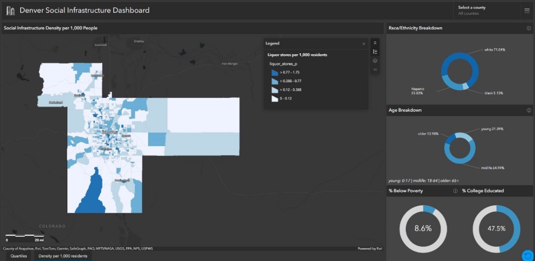
Multi-County Exploration
Users can analyze counties across the Denver Metro Area including Denver, Boulder, Jefferson, Broomfield, Arapahoe, Adams, and Douglas.
Layer Comparison Tools
Users can toggle between social infrastructure types, such as grocery store density and other community amenities.
Project Status
Final version expected Spring 2027.
Web App:
www.arcgis.com/apps/dashboards/51c311a74141460b899218363bce26ce
Tech Stack:
ArcGIS Dashboard
Note: Users will be prompted to sign in to their ArcGIS Online account to utilize this dashboard. Deliberations are in progress whether the final project will be hosted by ESRI or another platform.


